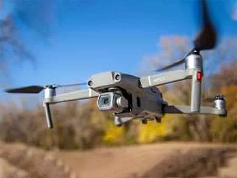
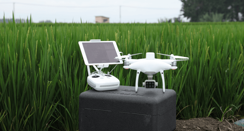
In the dynamic realm of modern agriculture, the advent of sophisticated technologies has ushered in a new era of efficiency and precision. At the forefront of this agricultural revolution are state-of-the-art Agriculture Mapping Drones, designed to redefine the way farmers understand and manage their fields. These unmanned aerial vehicles are equipped with an arsenal of cutting-edge mapping technologies, offering a comprehensive and accurate overview of agricultural landscapes.
Field Mapping and Surveying

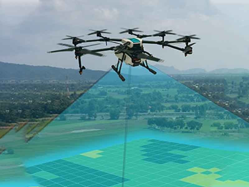
Agriculture mapping drones utilize GPS and LiDAR technology to create precise and detailed maps of agricultural fields. These maps provide essential insights into topography, soil variations, and drainage patterns, enabling farmers to make informed decisions about land management.
Precision Agriculture
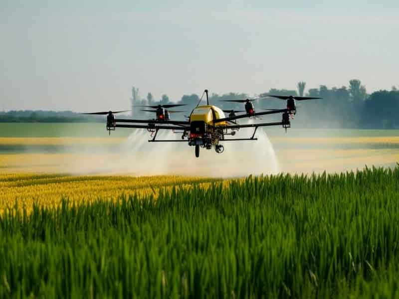
The mapping data from drones supports precision agriculture by helping farmers optimize seed planting, irrigation, and fertilization strategies based on specific field conditions. This targeted approach improves resource utilization, enhances crop yields, and minimizes environmental impact.
Health Monitoring

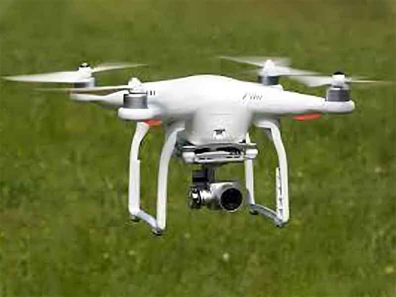
Equipped with multispectral and thermal imaging sensors, agriculture mapping drones monitor crop health by capturing data on chlorophyll levels, stress factors, and early signs of diseases or pests. This information aids in timely intervention, reducing crop losses and ensuring optimal plant growth.